GIS-workshop for students of the University of Ghana
12. July 2021
In May and June, a GIS workshop was held with students from the University of Ghana as part of the capacity building of work package 4 in the BMBF-funded joint project RAIN. The students are currently writing their master’s or doctoral thesis with reference to the RAIN joint project. The course took place on May 17 and June 29, 2021 via the Zoom platform.
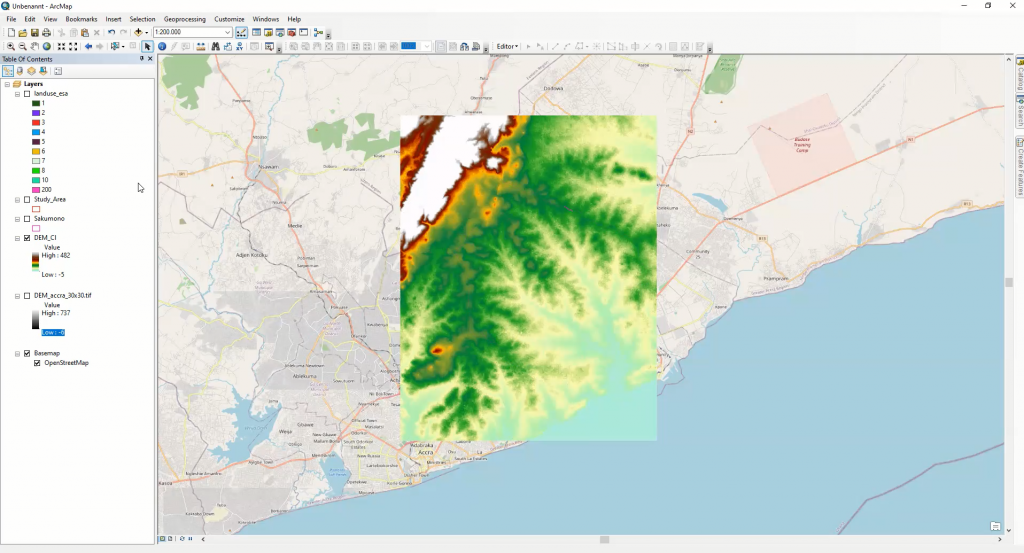
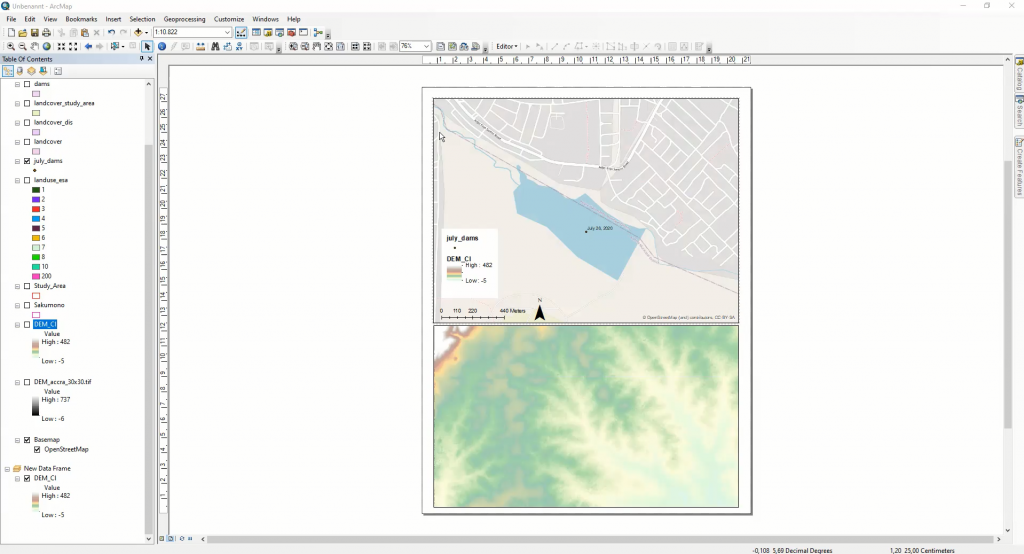
Two FiW research assistants first introduced the students theoretically to the basics of geographic information systems and then explained the most important analysis tools in ArcGIS. The contents of the first part of the course dealt with the basics of the application and various components of GIS systems. Different application systems such as ArcGIS and QGIS were introduced. Furthermore, an insight into basic data models and a more detailed insight into geographic and projected coordinate systems was given. In the second part of the workshop, the students were able to get hands-on and specifically apply the knowledge they had learned in the first part of the course. Guided by a research assistant, the students worked with land use maps, digital terrain models and soil maps. Through the use of various geoprocessing tools, they learned not only how to handle different types of data, but also how to create layouts.
We are pleased about the active participation of the students.